Portfolio
GIS Projects
Below are select papers from grad school GIS projects and an undergrad poster of UAS mapping. If you download the poster, you might see the name Montello - that's me, under a previous name. You can also find these papers, as well additional papers, in this GitHub respository.
Deep Learning Takes Flight: Detecting Jackrabbits with Thermal Drone Imagery
Detecting wildlife efficiently and accurately is crucial for wildlife abundance surveys that support ecological monitoring and conservation efforts. This study evaluates the application of a YOLOv5 object detection model to identify black-tailed jackrabbits (Lepus californicus) in thermal video acquired with an uncrewed aerial vehicle in the Morley Nelson Snake River Birds of Prey National Conservation Area in Southwest Idaho. We trained and evaluated two YOLOv5 models, optimized with SGD and Adam algorithms. After hyperparameter evolution, the Adam-optimized model outperformed the SGD model with a mAP50 of 0.991 and zero false positive detections. While the results demonstrated the effectiveness of using a YOLOv5 for detecting jackrabbit, distinguishing them from cottontails still presents a challenge due to similar thermal emissivity. This study highlights the potential for integrating a YOLOv5 model with spotlight surveys for estimating jackrabbit abundance.
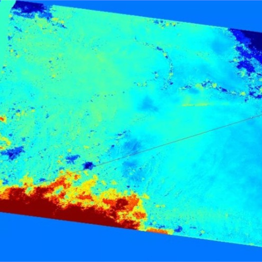
Natural Buttes Gas Field Land Deformation Detection Using Sentinel-1 InSAR
Fluid extraction from the ground can lead to land subsidence above the extraction area. Since land subsidence is a slow process, detection can be difficult. This study aimed to detect land subsidence as a result of gas extraction in and around the Natural Buttes gas field in northeastern Utah. Sentinel-1 imagery was used to perform DInSAR and SBAS InSAR analysis from June 29, 2017 to July 30, 2018. Both subsidence and uplift were detected in the study area.
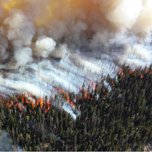
Post-Fire Vegetation Regrowth Analysis Using Free and Open-Source Software and Data
This study on post-fire vegetation regrowth in the Cold Fire burn scar in California utilized free and open-source software (FOSS) and data, including various Python packages, Jupyter notebook, QGIS, and earth observation data. The use of these tools provided several advantages, including cost-effectiveness and the ability to customize and modify the analysis. By utilizing pre- and post-fire Normalized Difference Vegetation Index (NDVI) data and employing linear regression analysis, this study assessed the impact of slope, aspect, and burn severity on post-fire vegetation regrowth in the Cold Fire burn scar. The findings showed that the burned area demonstrated a moderate recovery to pre-fire conditions, with regrowth rates being most significant in the second and third years following the fire. Furthermore, the study revealed that regrowth was higher on steeper and south-facing slopes, as well as areas with lower burn severity. It also proved that FOSS for GIS is effective for accessing post-fire vegetation regrowth. The Jupyter Notebook for this study can be found on GitHub.
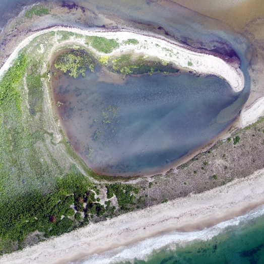
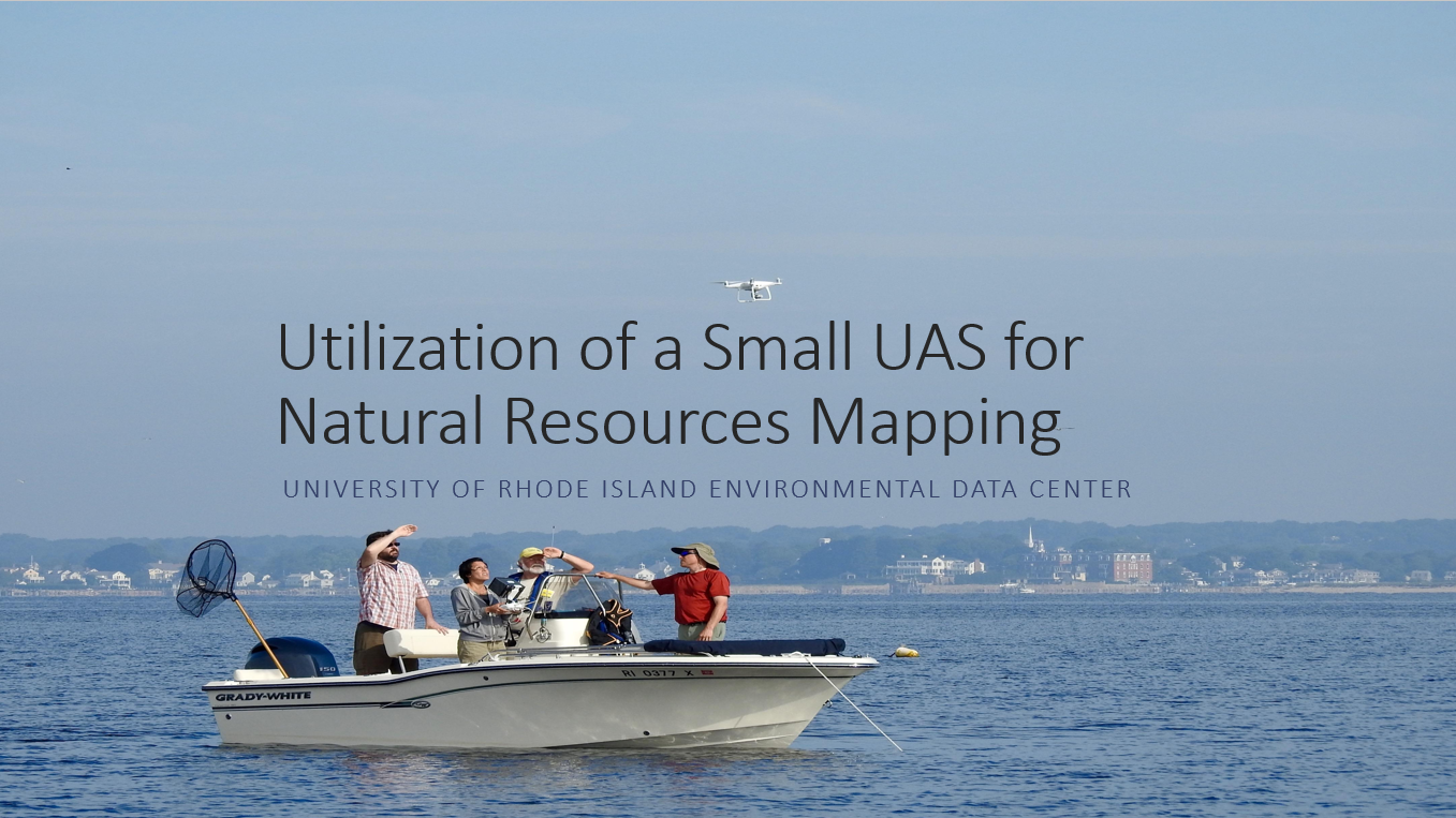
Utilization of small unmanned aerial systems for mapping of Napatree Point Conservation Area
Napatree Point Conservation Area is a 1.5-mile-long sandy spit extending into Little Narragansett Bay in Westerly, RI. It has been declared to be a Globally Important Bird Area by the Audubon Society for its diversity of shorebirds and migratory species. Napatree is a storm-driven ecosystem. Monitoring storm-induced habitat and sand dune changes requires the ability to gather detailed aerial imagery on short notice (before and after storm events). The purpose of this project was to determine the utility and cost effectiveness of using small unmanned aerial systems (UAS) to gather imagery for high resolution mapping of habitats.
Code
Coding is not just syntax - it is an invaluable tool for building solutions. This section contains various coding projects where I have used my Python and R skills to create practical tools that solve real-world problems. I am particularly interested in automating and simplifying workflows. Additionally, I am proficient in SQL (including Access SQL) and familiar with Access VBA and Javascript.

ArcGIS Pro Geoprocessing Tools
These tools were created using Python to automate geoprocessing workflows for the North Coast and Cascades Inventory and Monitoring Network Landscape Change protocol. Now, geoprocessing tasks are completed in the background within hours, tasks that used to take the user over a day to complete.
GIS Analysis Using Free and Open-source Software
I performed a post-fire vegetation regrowth analysis using various Python libraries in Jupyter Notebook, demonstrating the effectiveness of free and open-source software.

fetchsqlserver R package
This R package was created for publishing data packages to the National Park Service (NPS) DataStore using data stored in a SQL Server database. The functions simplify the process for users who are not very familiar with R or the NPS data package and EML metadata creation process.
Publications
Although I only have one publication as an author, I am the metadata provider for several National Park Service data packages. As the metadata provider, I extracted the data and applicable metadata from the project database, compiled other metadata documents, created attribute tables with data table column descriptions, created categorical variable tables for applicable data table columns (like a lookup table), and generated XML metadata in EML format.
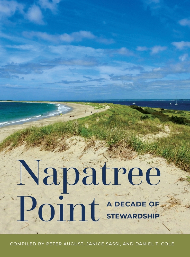
Montello, Christina. (2024). Mapping Napatree Point with Small Unmanned Aerial Systems. In: August, P., et al. (Eds.), Napatree Point: A Decade of Stewardship (pp. 95-101). BRG Scientific. https://shop.ingramspark.com/b/084?QAmpVasFsM4EkL4vPOW9hN9qWlE8FQV3ZopNEHmy0zM
Metadata Provider
- SIEN and Others. 2025. Sierra Nevada Network Landbird Monitoring Data Package, 2011-2024. National Park Service. Fort Collins CO https://doi.org/10.57830/2307334
- NCCN and Others. 2025. NCCN Landbird Monitoring Data Package, 2005-2023. National Park Service. Fort Collins CO https://doi.org/10.57830/2306615
- Ray C and Others. 2025. Sierra Nevada Landbirds Fire Analysis Monitoring Data Package, 1999-2019. National Park Service. Fort Collins CO https://doi.org/10.57830/2308571
- NCCN and Others. 2025. NCCN Prairie Vegetation Monitoring Data Package, 2007-2017. National Park Service. Fort Collins CO https://doi.org/10.57830/2308544
- NCCN and Others. 2025. NCCN Water Quality Monitoring Data Package, 2010-2021. National Park Service. Fort Collins CO https://doi.org/10.57830/2303676
StoryMap
The following StoryMap demonstrates my skills in geospatial storytelling and data visualization.
Presentations
This section showcases presentations I have delivered on utilizing small uncrewed aerial systems for research. The two recent presentations were on the same research. For my most recent presentation, I implemented the skills I learned from a science communication workshop to tell the story of our research instead of rattling off facts. During the presentation, the audience was engaged, and I received numerous questions both before and after my talk. Many people complimented both the research and the presentation.
